ファイル:Japan location map with side map of the Ryukyu Islands.svg.png
Deutsch: Postionskarte von Japan Quadratische Plattkarte.
Bei Nutzung der Hauptkarte mit den Hauptinseln gelten folgende geographische Begrenzungen für die (Gesamt-)Karte:
N: 45°51'37" N (45.86°N) S: 30°01'13" N (30.02°N) W: 128°14'24" O (128.24°O) O: 149°16'13" O (149.27°O) Bei Nutzung der Nebenkarte mit den Ryūkyū-Inseln gelten folgende geographische Begrenzungen für die (Gesamt-)Karte:
N: 39°32'25" N (39.54°N) S: 23°42'36" N (23.71°N) W: 110°25'49" O (110.43°O) O: 131°26'25" O (131.44°O)
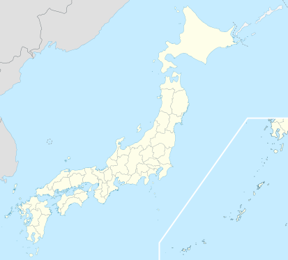
English: Location map of Japan Equirectangular projection.
Geographic limits to locate objects in the main map with the main islands:
N: 45°51'37" N (45.86°N) S: 30°01'13" N (30.02°N) W: 128°14'24" E (128.24°E) E: 149°16'13" E (149.27°E) Geographic limits to locate objects in the side map with the Ryukyu Islands:
N: 39°32'25" N (39.54°N) S: 23°42'36" N (23.71°N) W: 110°25'49" E (110.43°E) E: 131°26'25" E (131.44°E)
ファイルの履歴
過去の版のファイルを表示するには、その版の日時をクリックしてください。
| 日付と時刻 | サムネイル | 寸法 | 利用者 | コメント | |
|---|---|---|---|---|---|
| 現在の版 | 2018/8/11/ (土) 01:07 | | 413 × 373 (38キロバイト) | Admin (トーク | 投稿記録) |
- このファイルは上書きできません。
ファイルの使用状況
以下の? 23 ページがこのファイルにリンクしています: